Geology illustration pack (120 illustrations)
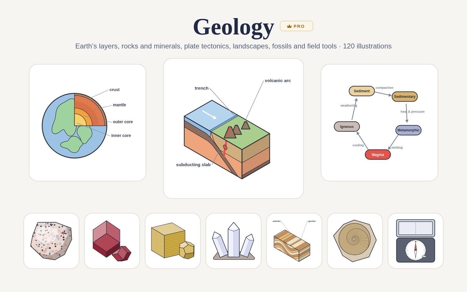
♛ PRO 120 icons in this pack · included with Pro
- Every Pro pack, plus future ones
- Icon editor and recolour
- Molecules, Proteins, Gel Builder and Well Plate exports
- Use in papers, talks and commercial work
$49 one-time · lifetime (₹2,999 in India) · Get Pro
Pro keeps the free library free.
Geology is a Sciicons Pro illustration pack of 120 original, scientifically accurate illustrations. Geology for papers, posters and teaching: Earth’s layers, lithosphere and asthenosphere, igneous, sedimentary and metamorphic rock specimens (granite, basalt, obsidian, pumice, sandstone, limestone, shale, conglomerate, marble, slate, gneiss, schist), quartz, feldspar, mica, calcite, halite, pyrite, gypsum, olivine, garnet and diamond, the Mohs scale, crystal systems and mineral identification (streak, luster, cleavage and fracture), the rock cycle, divergent, convergent and transform boundaries, 3D block diagrams (subduction, mid-ocean ridge, rift valley, hotspot island chain, fault and fold blocks), volcano cross-section, earthquakes, faults and folds, seismogram, strata, fossils, soil horizons, mountains, glaciers and the geologist’s field tools; plus world plate map, mantle convection, magnetic stripes, Pangaea, volcano types (shield, stratovolcano, cinder cone, caldera), lava and pyroclastic flows, ash plumes and geysers, weathering and erosion (frost wedging, chemical weathering, meanders, deltas, alluvial fans, dunes, karst caves, sea arches), rock textures and intrusions (thin section, grain-size scale, foliation, dikes, sills, batholiths), geologic time (time scale, superposition, cross-cutting relationships, unconformity, radiometric half-life), fossils (dinosaur bone, fern imprint, petrified wood, amber, trace fossils, fossilization), groundwater (aquifers, water table, wells, springs), glacial landforms (moraines, U-shaped valleys, cirques, fjords), earthquake science (P, S and surface waves, seismographs, shadow zones), field and lab tools (GPS, drone survey, drill core, drill rig, polarizing microscope, topographic and geologic maps), resources and hazards (oil and gas traps, coal, ore veins, open-pit mines, landslides, sinkholes, tsunamis).
Flat, minimal illustrations on a 512 × 512 canvas with one shared earth-tone palette: warm sandstone layers, grey and charcoal rocks, orange mantle and red magma. Every part sits in a named group so Recolor and Edit can target it.
Topics: geology, earth science, earth layers, crust, mantle, core, lithosphere, asthenosphere, rocks, igneous, sedimentary, metamorphic, granite, basalt, obsidian, pumice, sandstone, limestone, shale, conglomerate, marble, slate, gneiss, schist, minerals, quartz, feldspar, mica, calcite, halite, pyrite, gypsum, desert rose, olivine, garnet, diamond, mohs hardness scale, crystal systems, streak test, luster, cleavage, fracture, rock cycle, plate tectonics, divergent, convergent, subduction, transform, volcano, earthquake, fault, fold, anticline, syncline, seismogram, strata, fossils, ammonite, trilobite, soil horizons, mountains, glacier, rock hammer, hand lens, brunton compass, block diagram, 3d block, mid-ocean ridge, rift valley, graben, hotspot, mantle plume, hawaii, world plate map, mantle convection, magnetic stripes, pangaea, continental drift, island arc, shield volcano, stratovolcano, cinder cone, caldera, lava flow, pyroclastic flow, ash plume, geyser, frost wedging, chemical weathering, meander, oxbow lake, delta, alluvial fan, sand dunes, karst, stalactite, stalagmite, sea stack, sea arch, thin section, polarized light, grain size, wentworth, foliation, dike, sill, batholith, pluton, geologic time scale, superposition, cross-cutting relationships, unconformity, radiometric dating, half-life, dinosaur bone, fern fossil, petrified wood, amber, trace fossil, footprints, fossilization, aquifer, water table, cone of depression, groundwater, spring, moraine, u-shaped valley, cirque, tarn, fjord, p wave, s wave, surface waves, rayleigh wave, seismograph, shadow zone, gps, drone survey, core sample, drill rig, polarizing microscope, topographic map, contour lines, geologic map, strike and dip, oil trap, coal seam, ore vein, open-pit mine, landslide, sinkhole, tsunami, natural hazards, mineral resources.
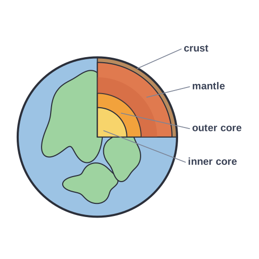
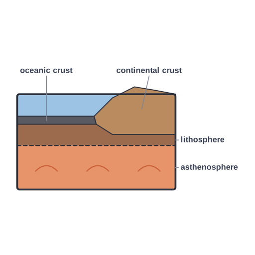
Earth structure (2)
Rocks & minerals (17)
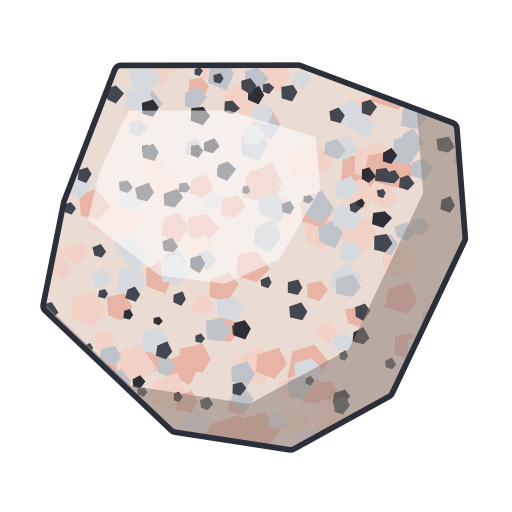 Granite · Pro
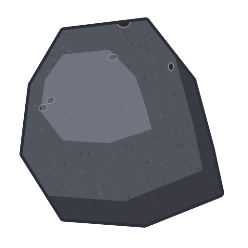 Basalt · Pro
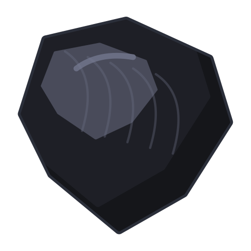 Obsidian · Pro
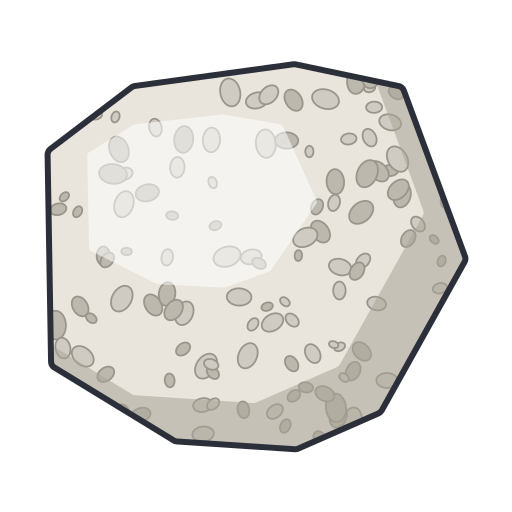 Pumice · Pro
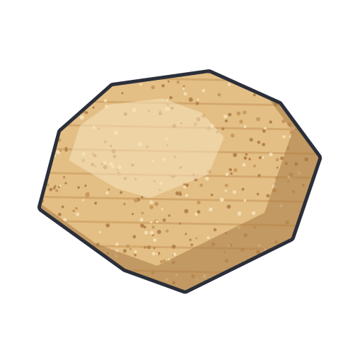 Sandstone · Pro
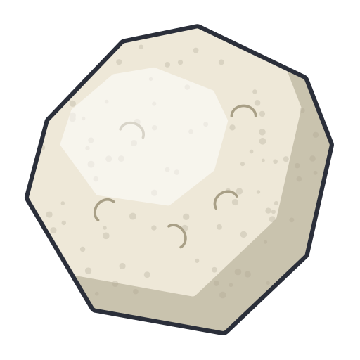 Limestone · Pro
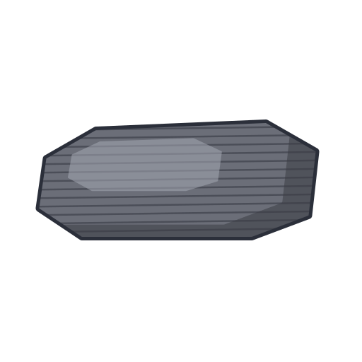 Shale · Pro
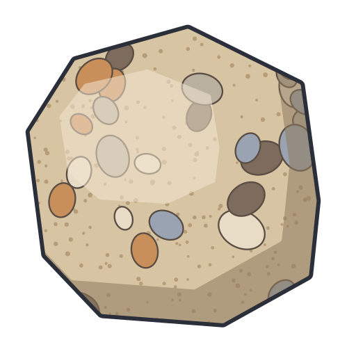 Conglomerate · Pro
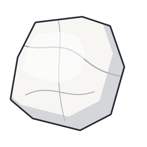 Marble · Pro
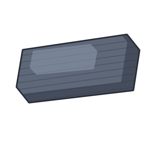 Slate · Pro
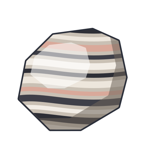 Gneiss · Pro
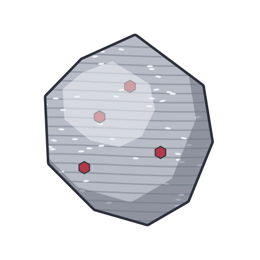 Schist · Pro
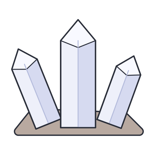 Quartz crystal cluster · Pro
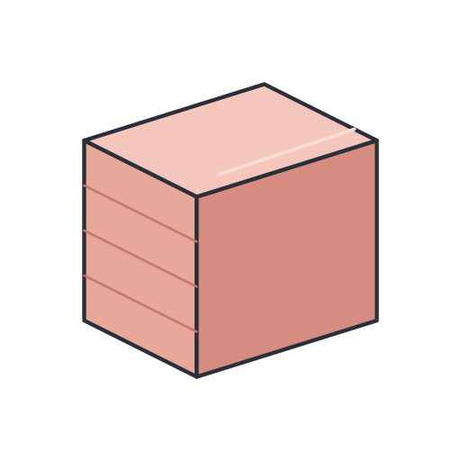 Feldspar (orthoclase) · Pro
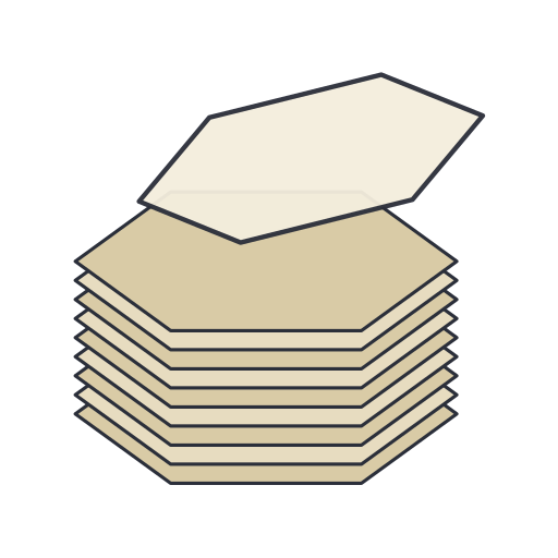 Mica (muscovite) · Pro
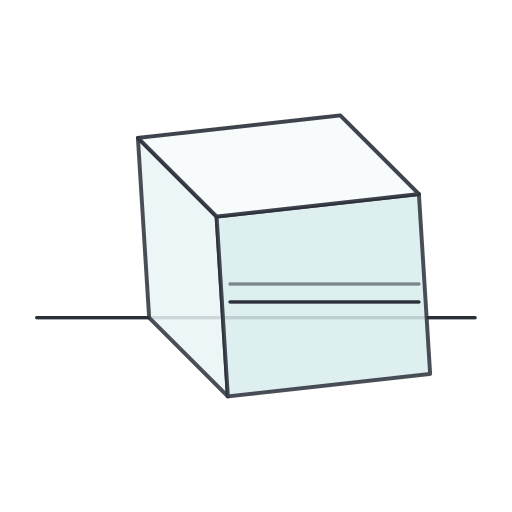 Calcite rhombohedron showing double refraction · Pro
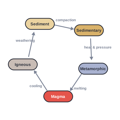 The rock cycle · Pro
Plate tectonics & structures (15)
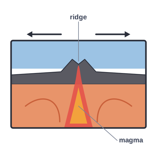 Divergent plate boundary · Pro
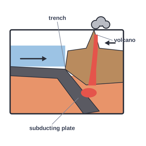 Convergent plate boundary · Pro
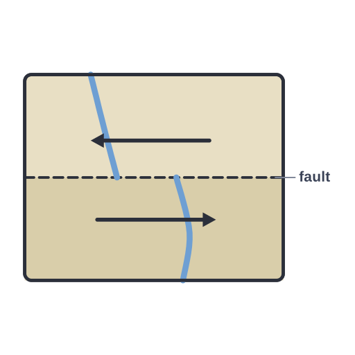 Transform plate boundary · Pro
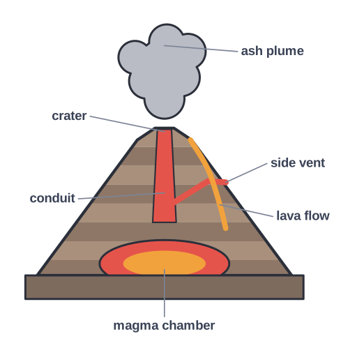 Volcano cross-section · Pro
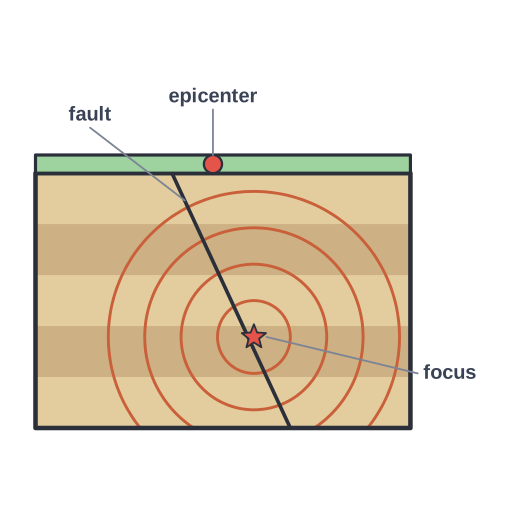 Earthquake · Pro
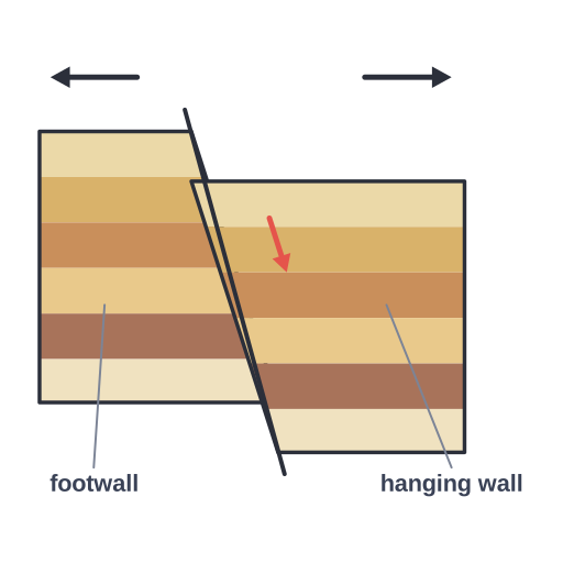 Normal fault · Pro
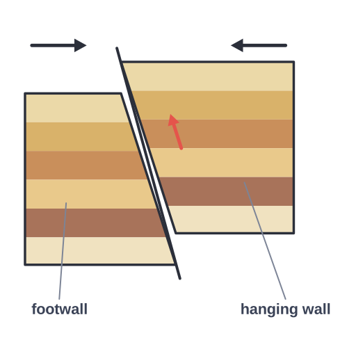 Reverse (thrust) fault · Pro
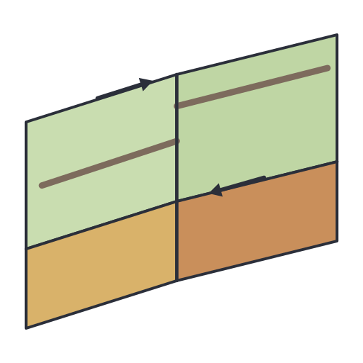 Strike-slip fault · Pro
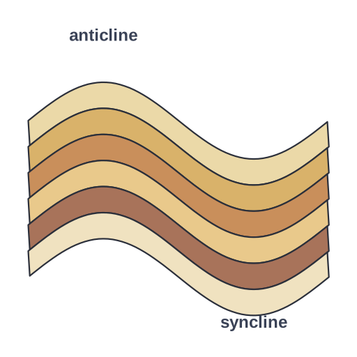 Folded rock layers · Pro
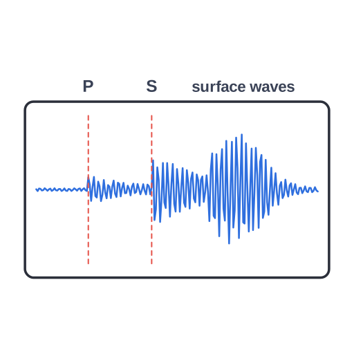 Seismogram showing P-wave, S-wave and surface-wave arrivals · Pro
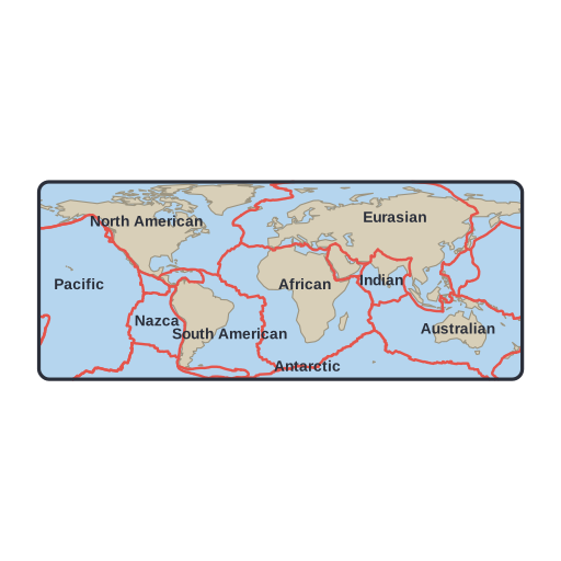 World map of the major tectonic plates and their boundaries · Pro
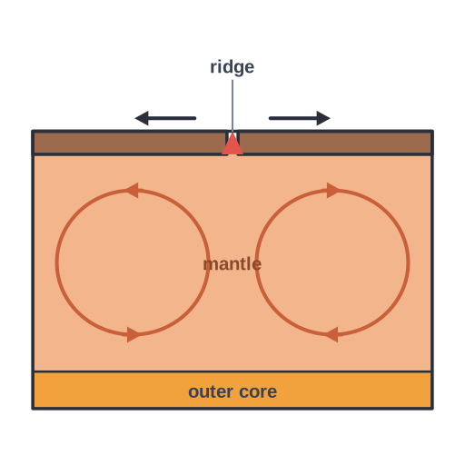 Mantle convection cells driving plate motion · Pro
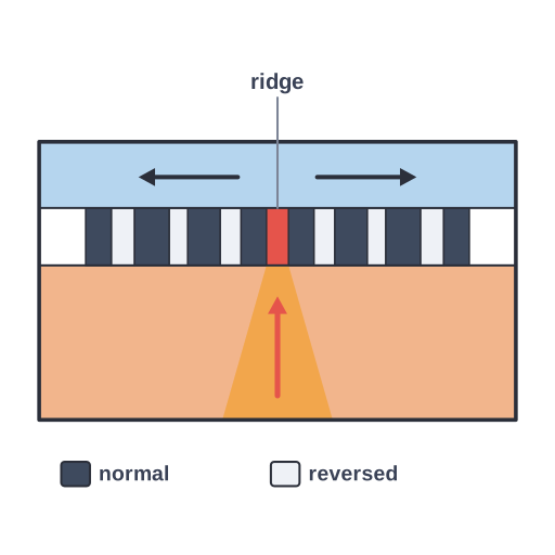 Seafloor spreading · Pro
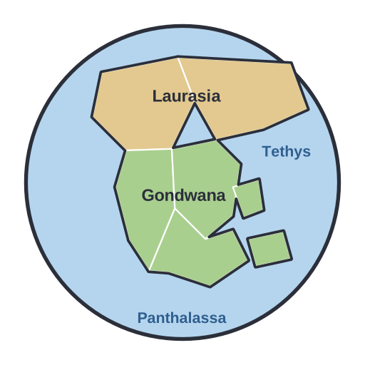 Pangaea supercontinent (about 250 Ma) · Pro
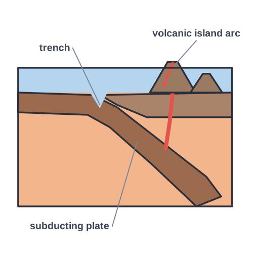 Ocean–ocean subduction · Pro
Landscapes, fossils & soil (6)
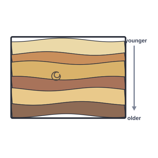 Sedimentary strata (law of superposition) · Pro
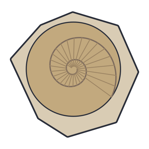 Ammonite fossil with ribbed spiral shell · Pro
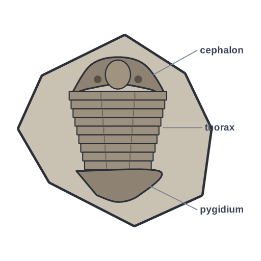 Trilobite fossil · Pro
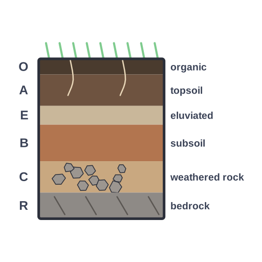 Soil profile with horizons O, A, E, B, C and R · Pro
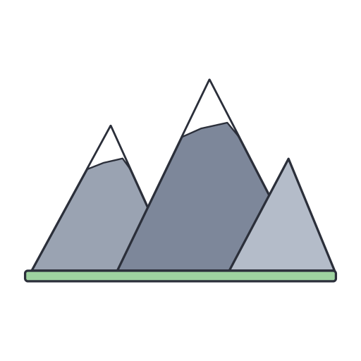 Mountain range with snow-capped peaks · Pro
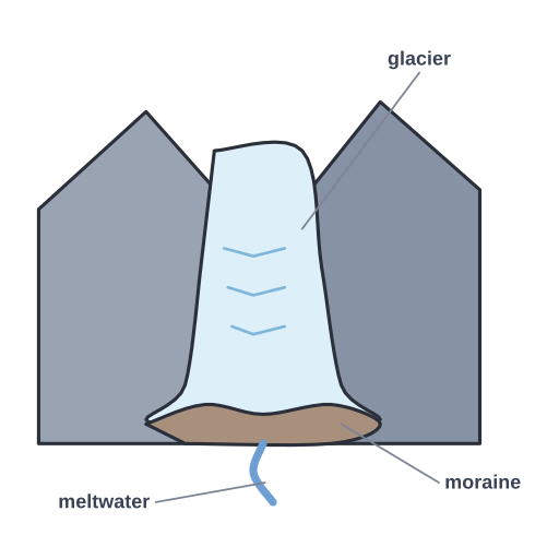 Valley glacier with crevasses, moraine and meltwater · Pro
Field & lab tools (10)
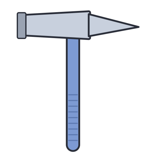 Geologist’s rock hammer (pick point) · Pro
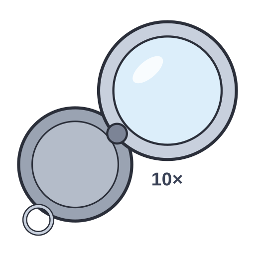 Folding hand lens (10× loupe) with swing-out cover · Pro
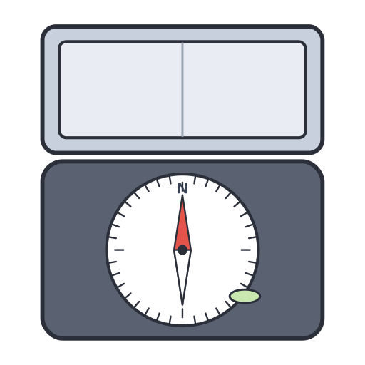 Geological compass-clinometer (Brunton-type) with lid open · Pro
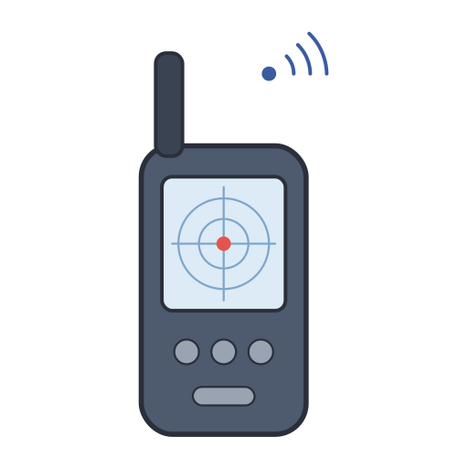 Handheld GPS receiver for recording field locations · Pro
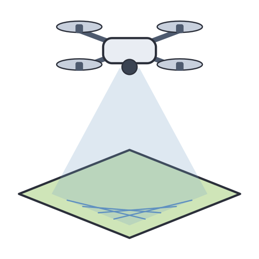 Survey drone mapping the ground with an aerial scan · Pro
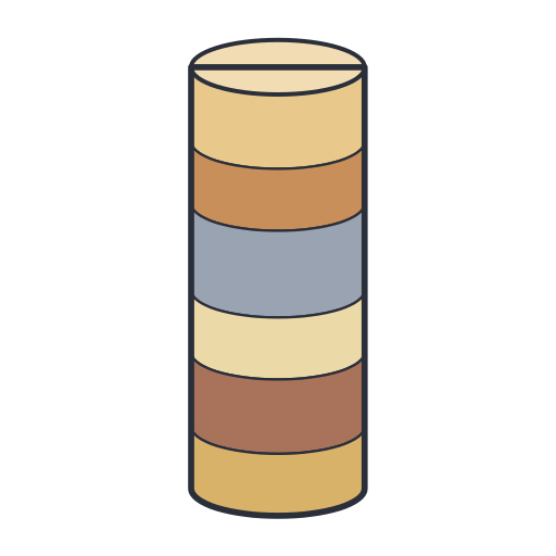 Drill core sample showing layered rock in a cylindrical core · Pro
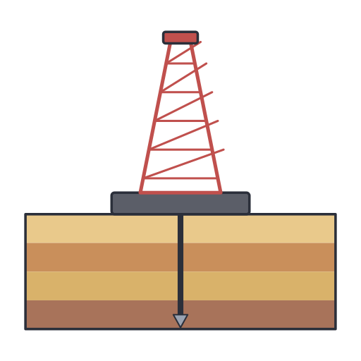 Drilling rig with derrick and drill string boring into rock layers · Pro
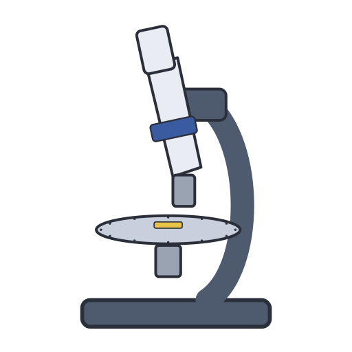 Polarizing (petrographic) microscope with rotating stage for thin… · Pro
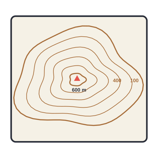 Topographic map with contour lines showing elevation of a hill · Pro
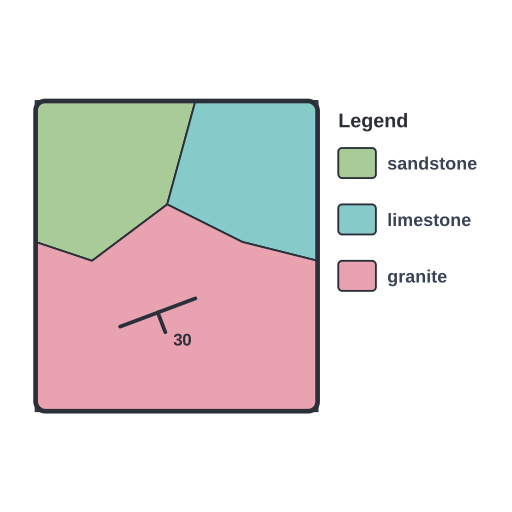 Geologic map with rock units, a strike-and-dip symbol and a legend · Pro
Minerals & identification (11)
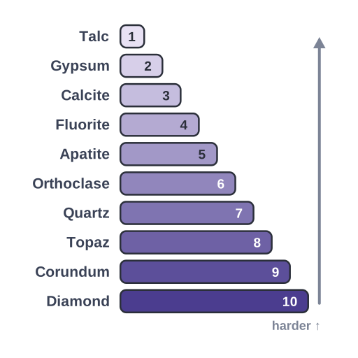 Mohs hardness scale · Pro
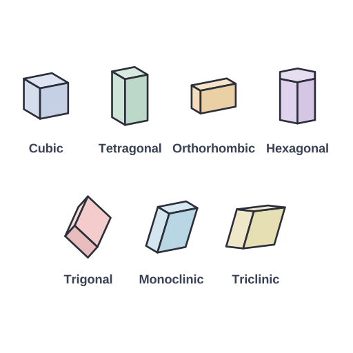 The seven crystal systems · Pro
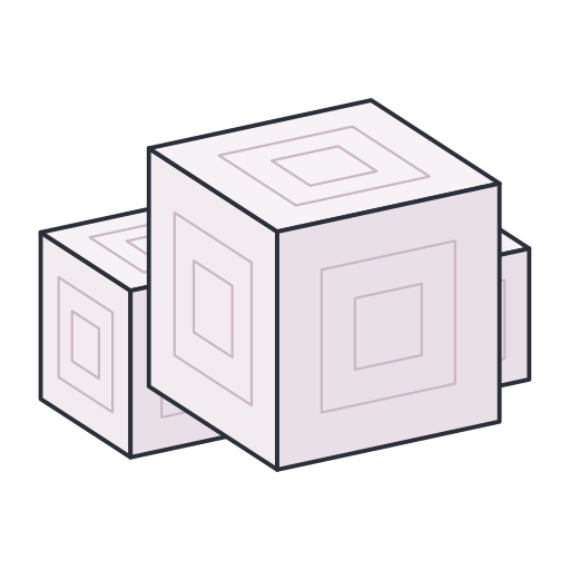 Halite · Pro
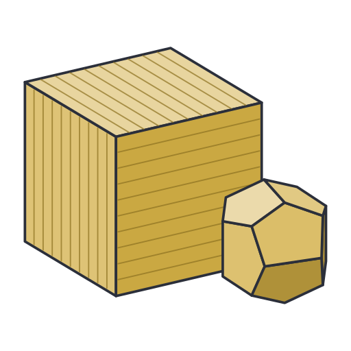 Pyrite · Pro
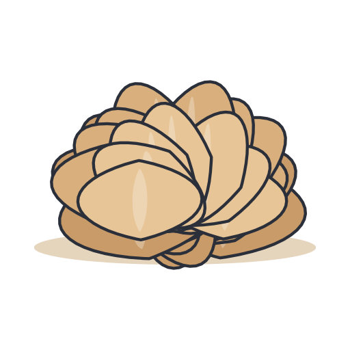 Gypsum · Pro
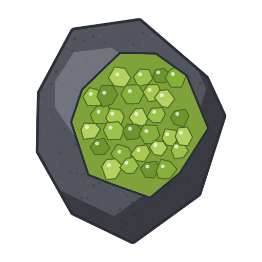 Olivine · Pro
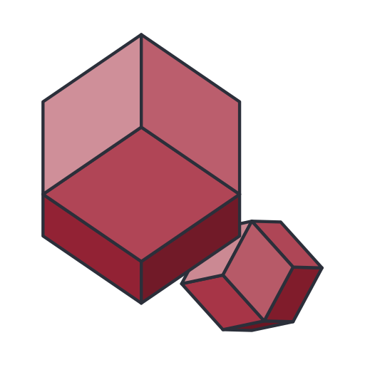 Garnet · Pro
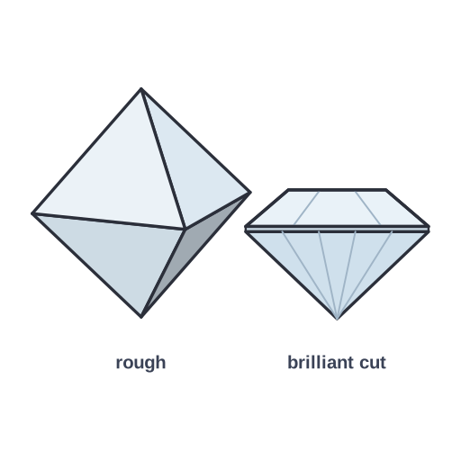 Diamond · Pro
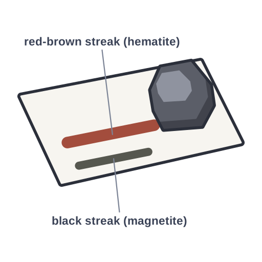 Streak test · Pro
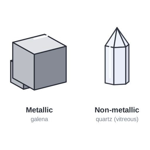 Mineral luster · Pro
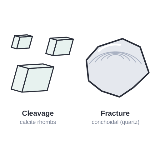 Cleavage vs fracture · Pro
3D block diagrams (6)
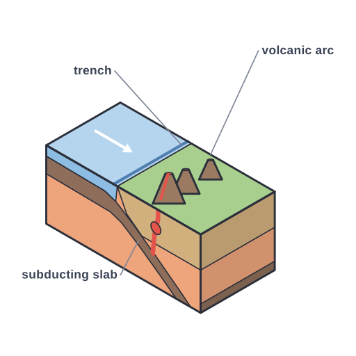 3D block diagram · Pro
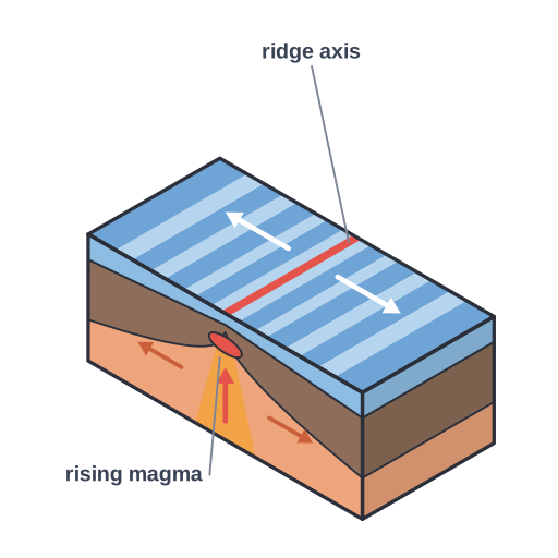 3D block diagram · Pro
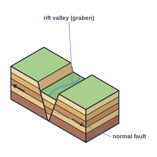 3D block diagram · Pro
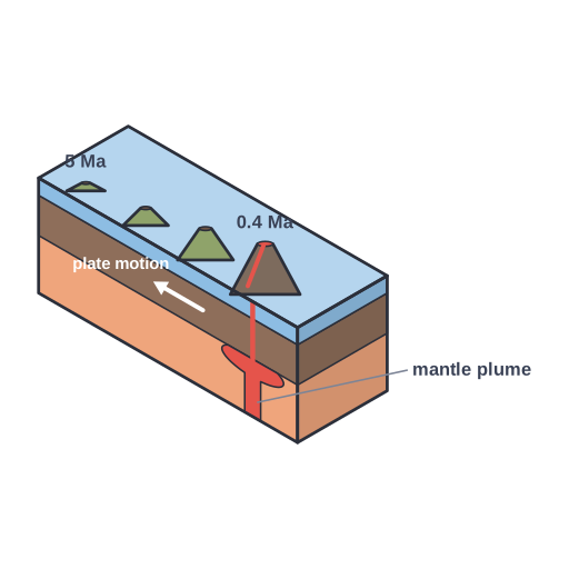 3D block diagram · Pro
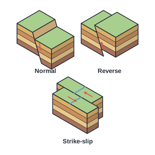 3D fault blocks · Pro
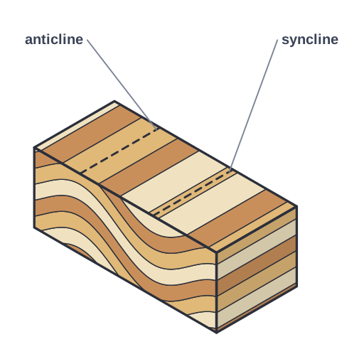 3D block diagram · Pro
Volcanoes (8)
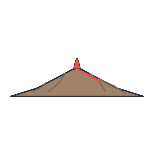 Shield volcano · Pro
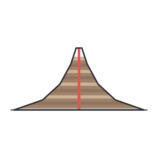 Stratovolcano (composite volcano) · Pro
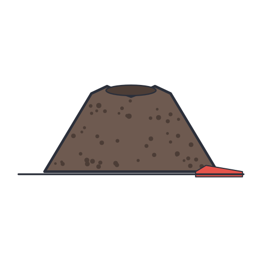 Cinder cone · Pro
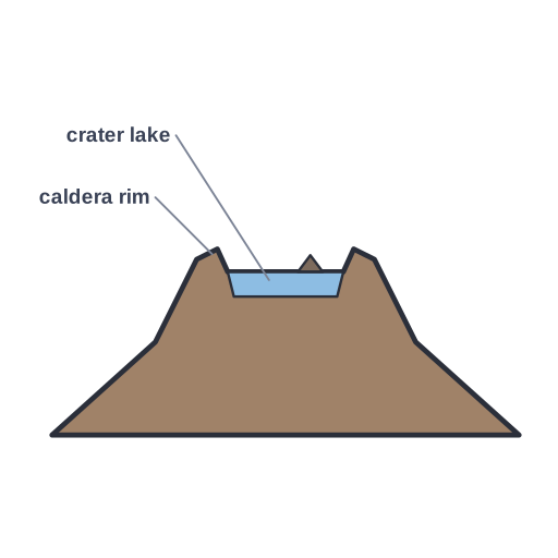 Caldera · Pro
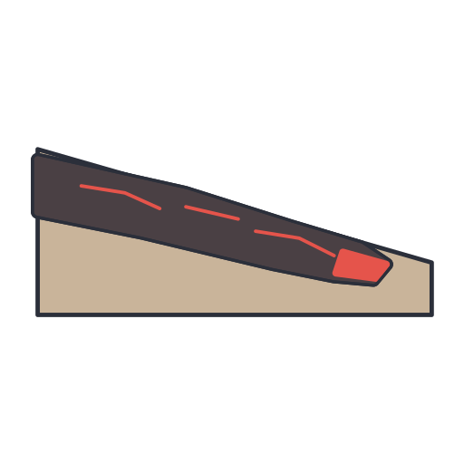 Lava flow · Pro
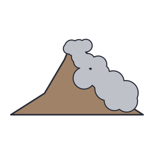 Pyroclastic flow · Pro
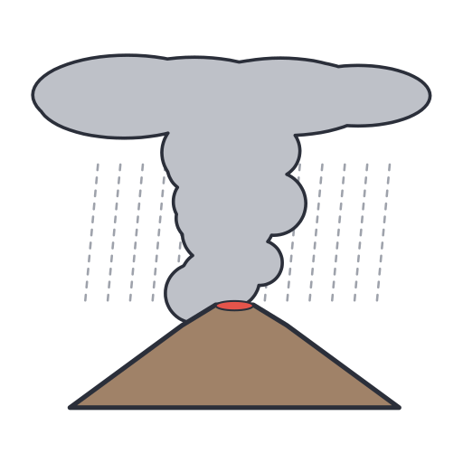 Eruption column and ash plume spreading into an umbrella cloud, with… · Pro
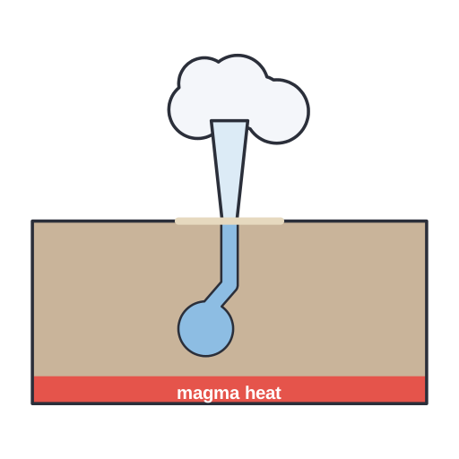 Geyser · Pro
Weathering & erosion (8)
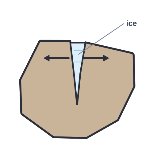 Physical weathering by frost wedging · Pro
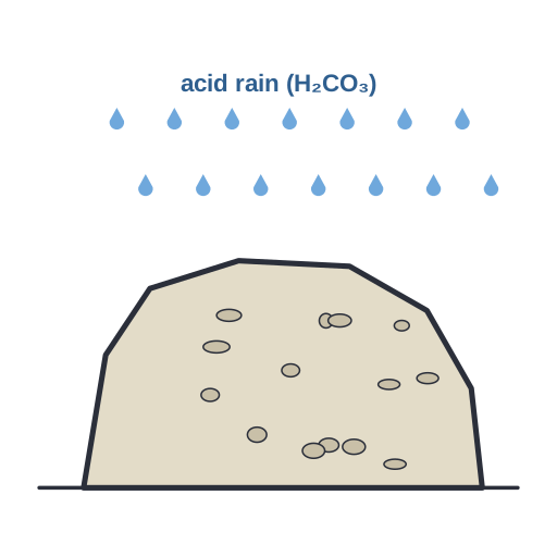 Chemical weathering · Pro
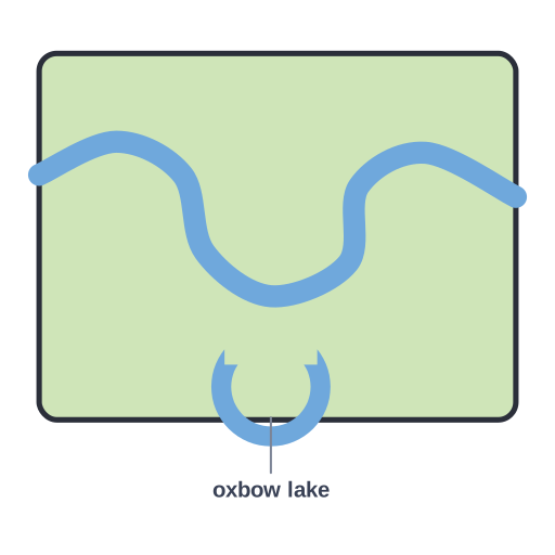 Meandering river with an oxbow lake cut off from a former meander loop · Pro
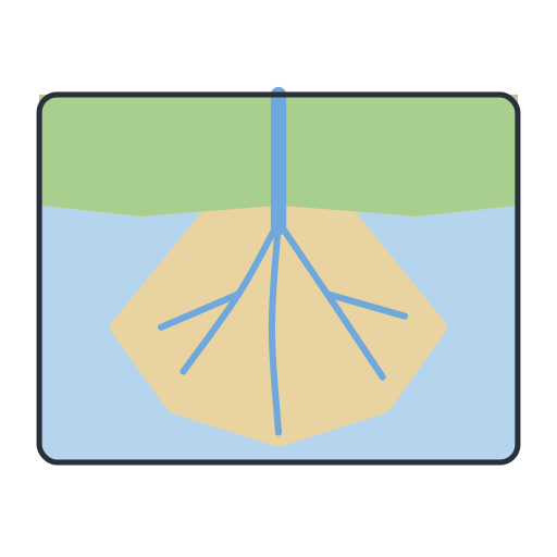 River delta · Pro
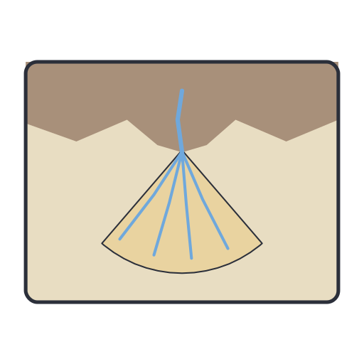 Alluvial fan · Pro
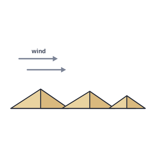 Sand dunes · Pro
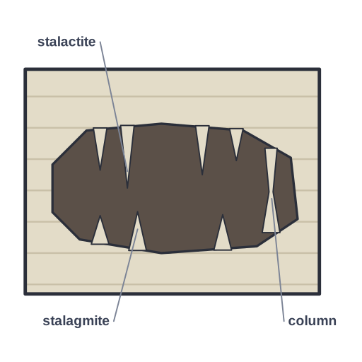 Karst cave in limestone with stalactites, stalagmites and a column · Pro
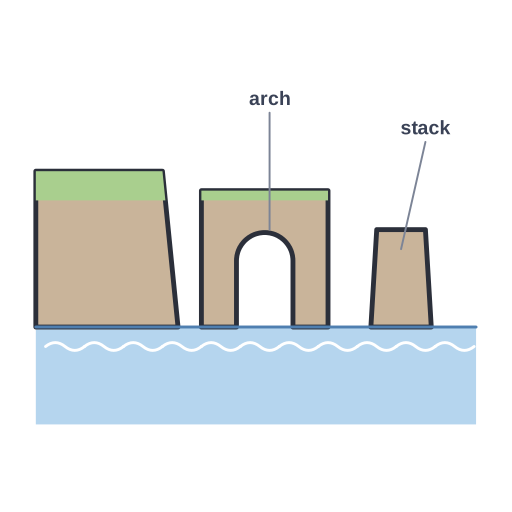 Coastal erosion · Pro
Rock textures & intrusions (6)
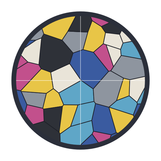 Rock thin section under crossed polarized light, showing… · Pro
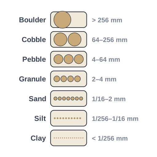 Sediment grain-size scale (Wentworth) · Pro
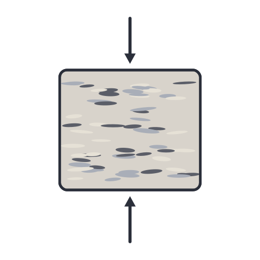 Foliation · Pro
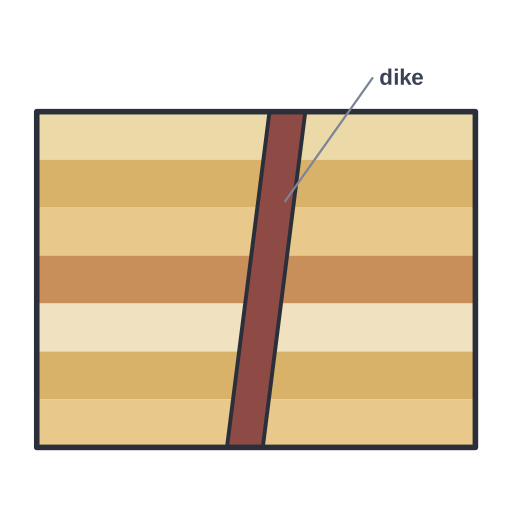 Dike · Pro
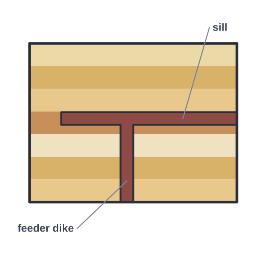 Sill · Pro
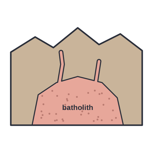 Batholith · Pro
Geologic time (5)
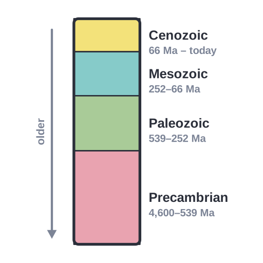 Geologic time scale · Pro
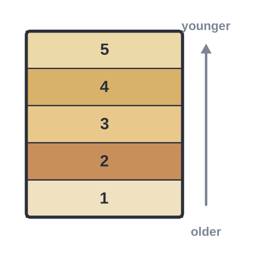 Law of superposition · Pro
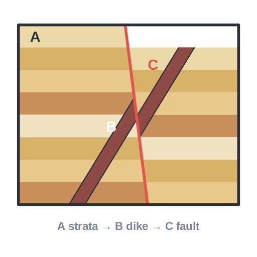 Cross-cutting relationships · Pro
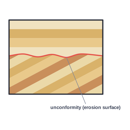 Angular unconformity · Pro
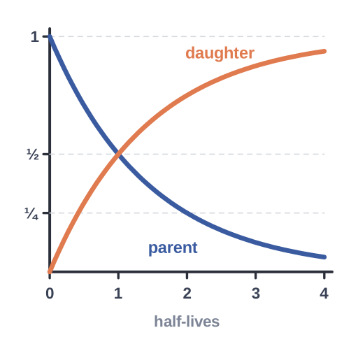 Radiometric dating · Pro
Fossils (6)
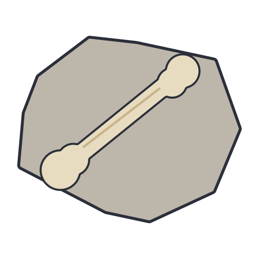 Fossil dinosaur limb bone (femur) exposed in rock · Pro
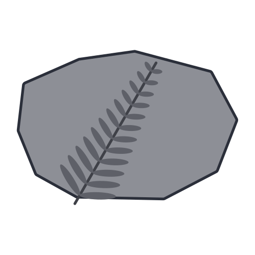 Fossil fern frond preserved as an imprint in shale · Pro
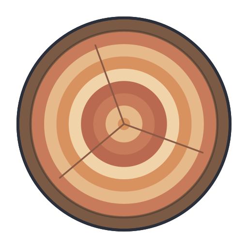 Petrified wood · Pro
 Insect preserved in amber (fossilised tree resin) · Pro
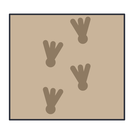 Trace fossil · Pro
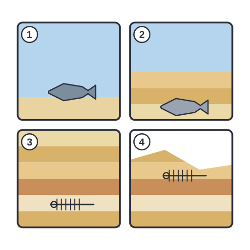 How a fossil forms · Pro
Groundwater (4)
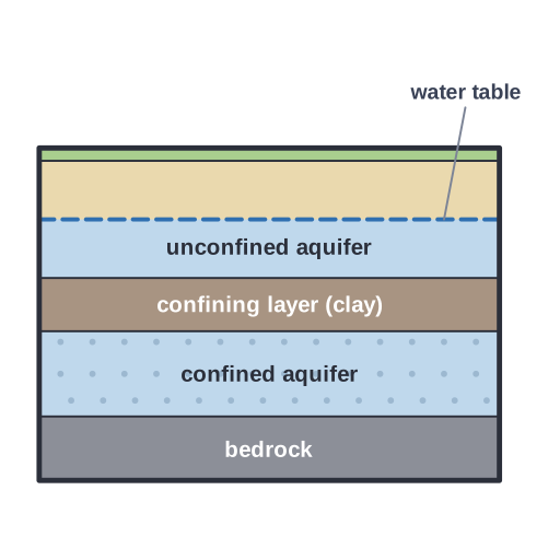 Unconfined and confined aquifers separated by an impermeable… · Pro
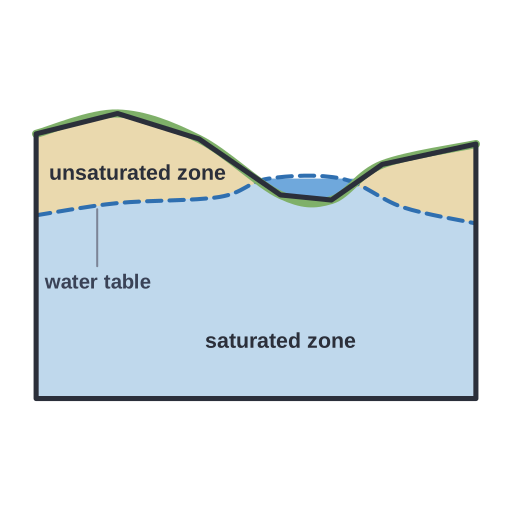 Water table separating the unsaturated zone from the saturated zone,… · Pro
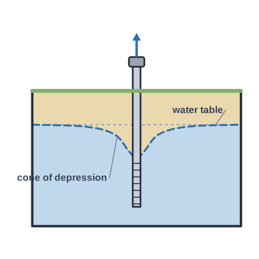 Pumping well drawing down the water table into a cone of depression · Pro
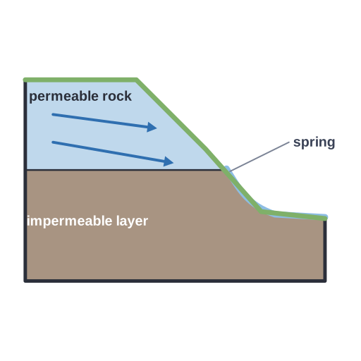 Spring · Pro
Glaciers (4)
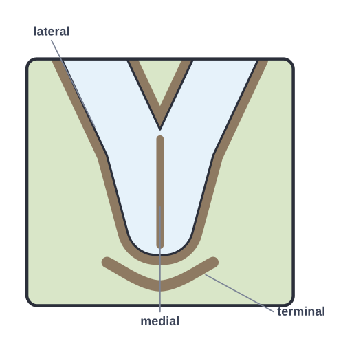 Glacial moraines · Pro
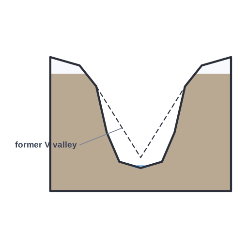 U-shaped glacial valley, carved from an earlier V-shaped river valley · Pro
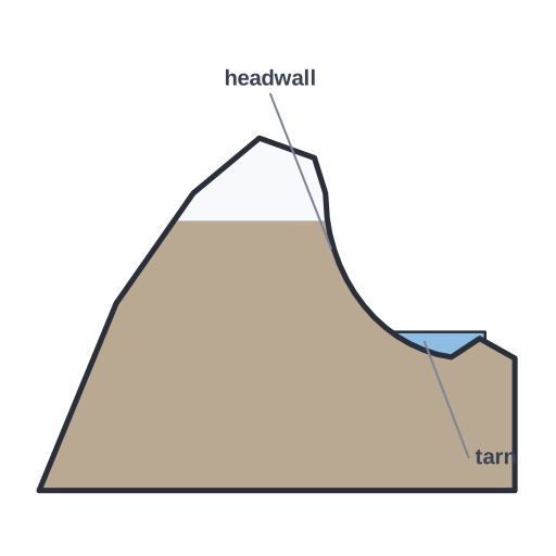 Cirque · Pro
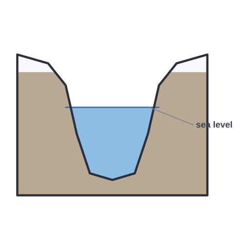 Fjord · Pro
Earthquakes & seismology (5)
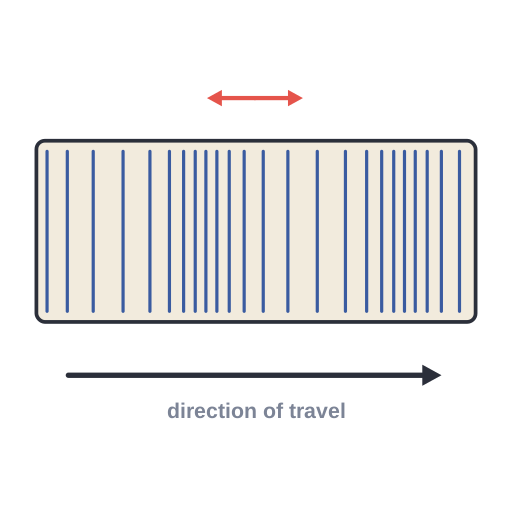 P wave (primary, compressional) · Pro
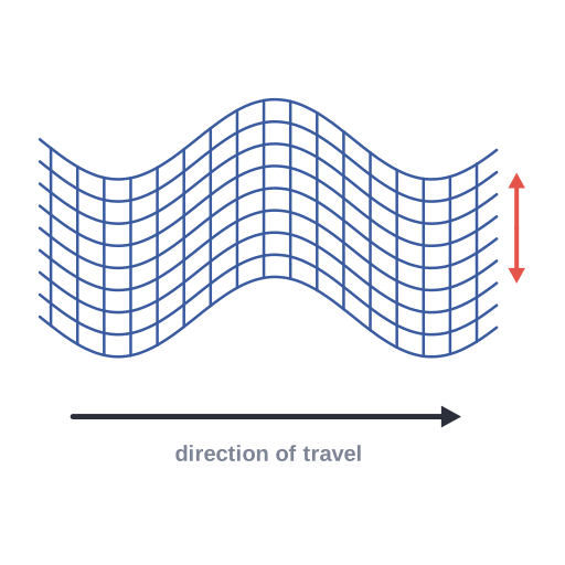 S wave (secondary, shear) · Pro
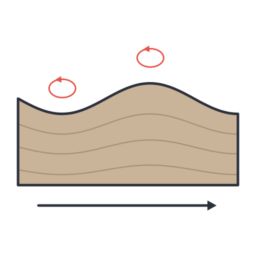 Surface waves (Rayleigh) · Pro
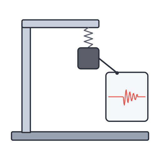 Seismograph · Pro
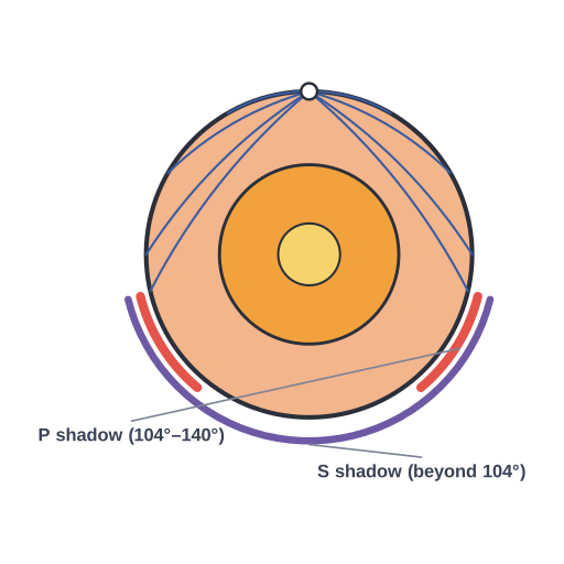 P- and S-wave shadow zones · Pro
Resources & hazards (7)
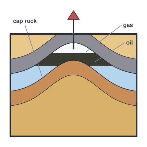 Oil and gas trapped in an anticline beneath impermeable cap rock · Pro
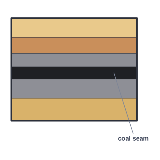 Coal seam · Pro
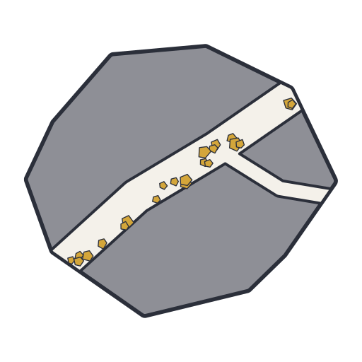 Ore vein · Pro
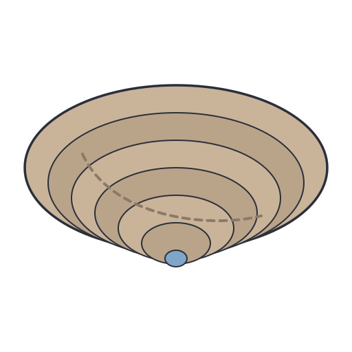 Open-pit mine with stepped benches cut down into the ore body · Pro
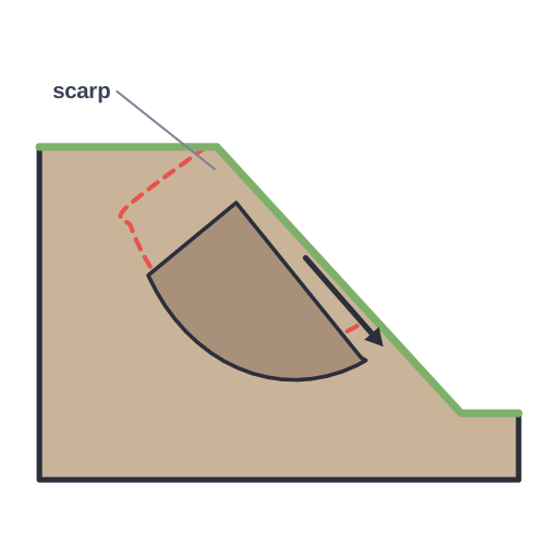 Landslide (rotational slump) · Pro
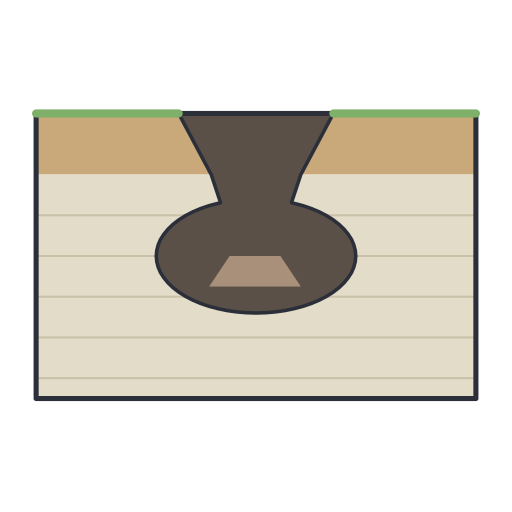 Sinkhole · Pro
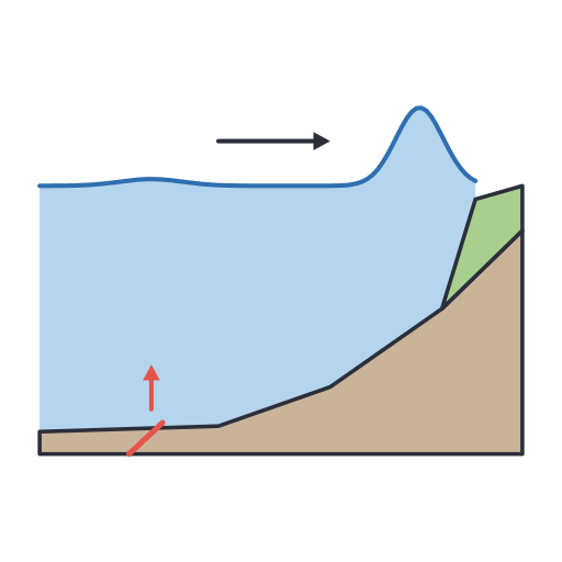 Tsunami · Pro
License
Included with Sciicons Pro (one-time lifetime purchase). Use the illustrations in papers, theses, posters, slides, grant figures and teaching; editable SVG with named layers. Redistribution of the files as an icon set is not allowed. See how to cite Sciicons.
Related packs
- Cell Biology (21 illustrations)
- Amino Acids (22 illustrations)
- Chemistry Labware (31 illustrations)
- Chemistry Labware 2 (53 illustrations)
- Chemistry Pack 3 (38 illustrations)
- Nanoparticles (26 illustrations)